Notes:
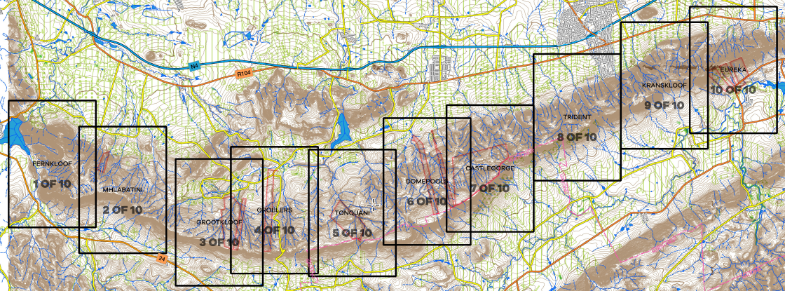
The MCSA is making these maps of the Magaliesberg available to MCSA members and the public. The MCSA makes it expressly clear that you need to be a paid up MCSA member or hold a valid permit to be on MCSA land, and that all other properties are private and express permission needs to be obtained from the owners to partake in any activities on such land. Be sure to know where the MCSA property boundaries are. For access codes and further information on properties, MCSA members must contact the MCSA Jhb Section office.

Disclaimer:
Mountain climbing, rock climbing, abseiling, hiking and other related activities are inherently dangerous and can lead to or cause serious injury, material loss and even death. The Mountain Club of South Africa (MCSA) advises you not to participate in these activities unless you are competent to do so, or are under the guidance of a competent person, and unless you are using the correct equipment.
Any activity you participate in, is done entirely at your own risk. The Mountain Club of South Africa accept no liability or responsibility whatsoever for any accident, injury, death or material loss arising from the use or misuse of this data pack and maps.
The MCSA makes no claims about the correctness of these maps. Any activities undertaken in conjunction with or on the property of the MCSA or any other properties, are at your own risk. The MCSA, its members or the occupiers or owners of any land on which such activity takes place, accept no responsibility for any loss, injury or damage to person or property, howsoever arising, whether through negligence or otherwise. The MCSA recommends that you do not participate in these activities unless you are experts, seek qualified instruction or guidance, are knowledgeable about the risks involved and are willing to, and do, personally assume all responsibility associated with those risks.
